This morning I learned that I can consider myself a true citizen of Oswaldtwistle, or Gobbiner, because I’ve spent the night ‘above the lamp’ – ie in the part of town above the Gobbin lantern that stands outside the library. Obviously.
Neighbouring Accrington is famous for its ‘nori’ bricks (apparently ‘iron’ was spelled backwards in the brick moulds), so admired for their strength that they were used for the Empire State Building, among other iconic architecture. By contrast, the former cotton mill town of Oswaldtwistle is these days known (according to my host) for its collapsing mine shafts, illicit cannabis farms in empty houses, and bronchitis.
Relations with the Blessed Garmin are going from bad to worse. This morning he was nowhere to be found, and I had cast unjustified aspersions in the direction of Christine’s dogs before he was eventually run to ground hiding under my bed. Then, within minutes of getting on the road, he played the old ‘Route calculation error’ trick, and again refused to talk to me.
My day started on the Leeds and Liverpool Canal towpath, slaloming between shards of thorny bramble branches that a thoughtful farmer had scattered for cyclists’ entertainment.
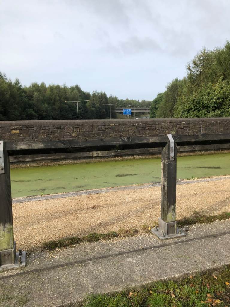
The photo below is terrible, but I include it to illustrate the feat of engineering just north of Oswaldtwistle that takes a section of canal (the green weed covered bit), with associated towpath, over the M65 (note blue motorway sign).
It was another day of ups and downs, starting with an impossibly long and steep climb out of Rishton. For the remainder of the route, which crossed the valleys of the rivers Ribble, Brock, Calder, Wyre, Conder and Lune, the hills were manageable. And unlike in Cornwall, I enjoyed some exhilarating downhills – my top speed today was 54kph.
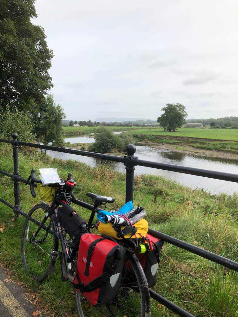
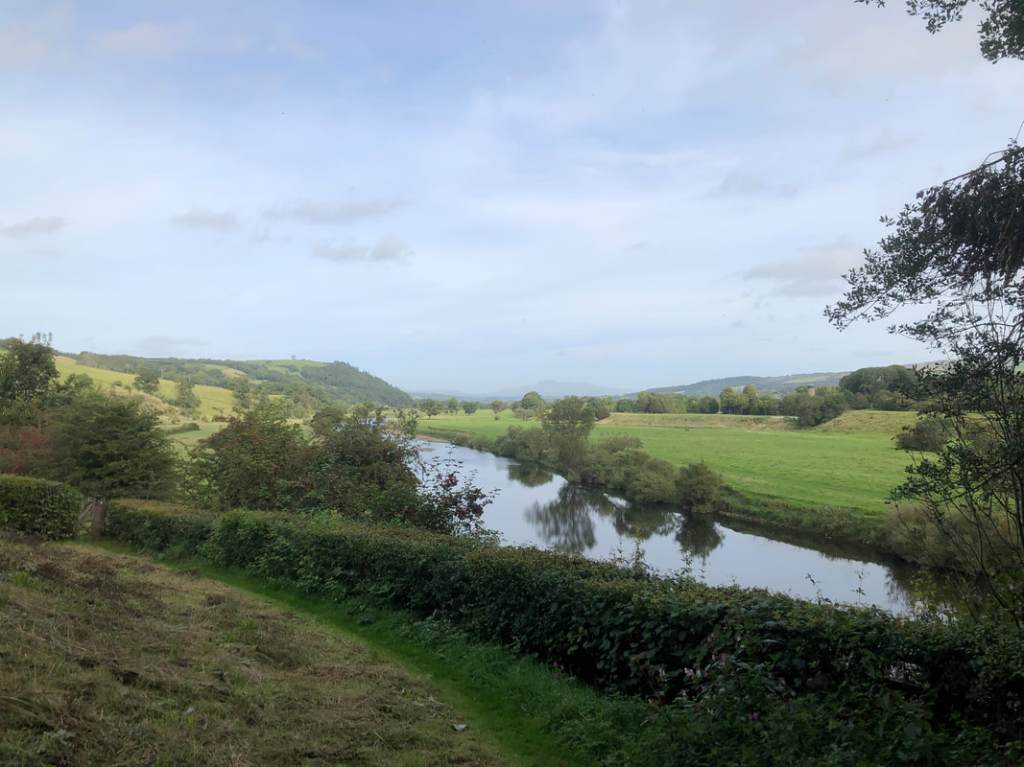
This was the Ribble at (the Roman town of) Ribchester. The distant hill looked much bigger in reality.
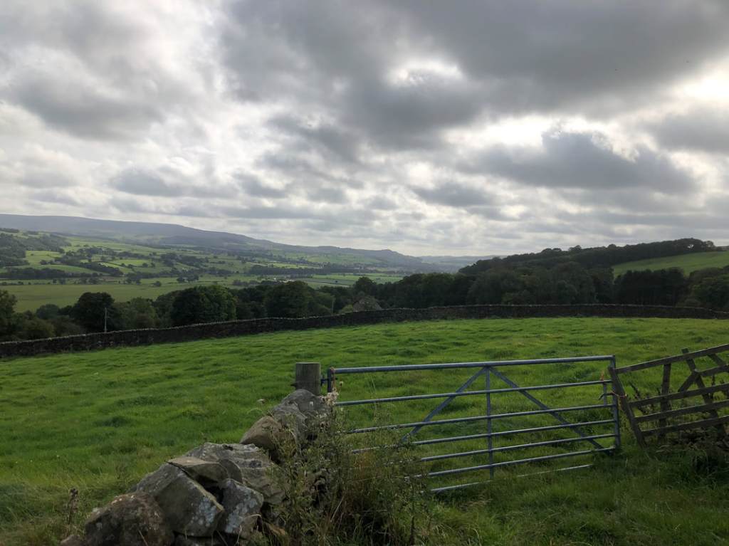
The views were gorgeous, but it’s very hard to do justice to them on camera.
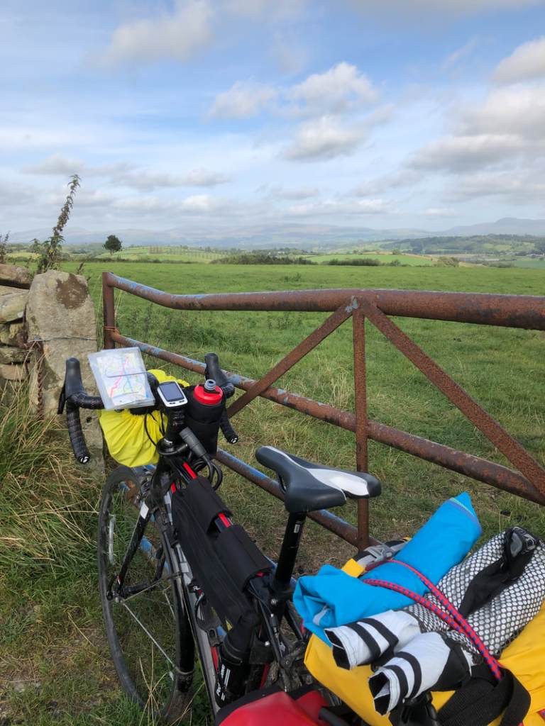
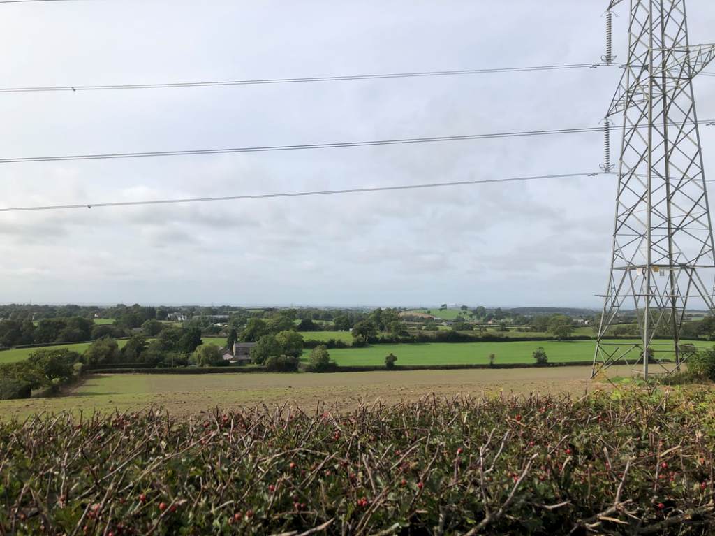
I crisscrossed the M6 several times between Garstang and Lancaster, often spotting the great sweep of Morecombe Bay in the distance (its visible in this photo if you have eagle eyes):
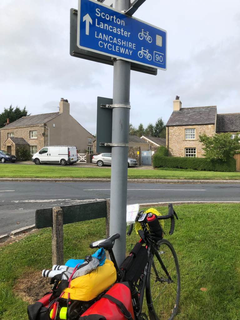
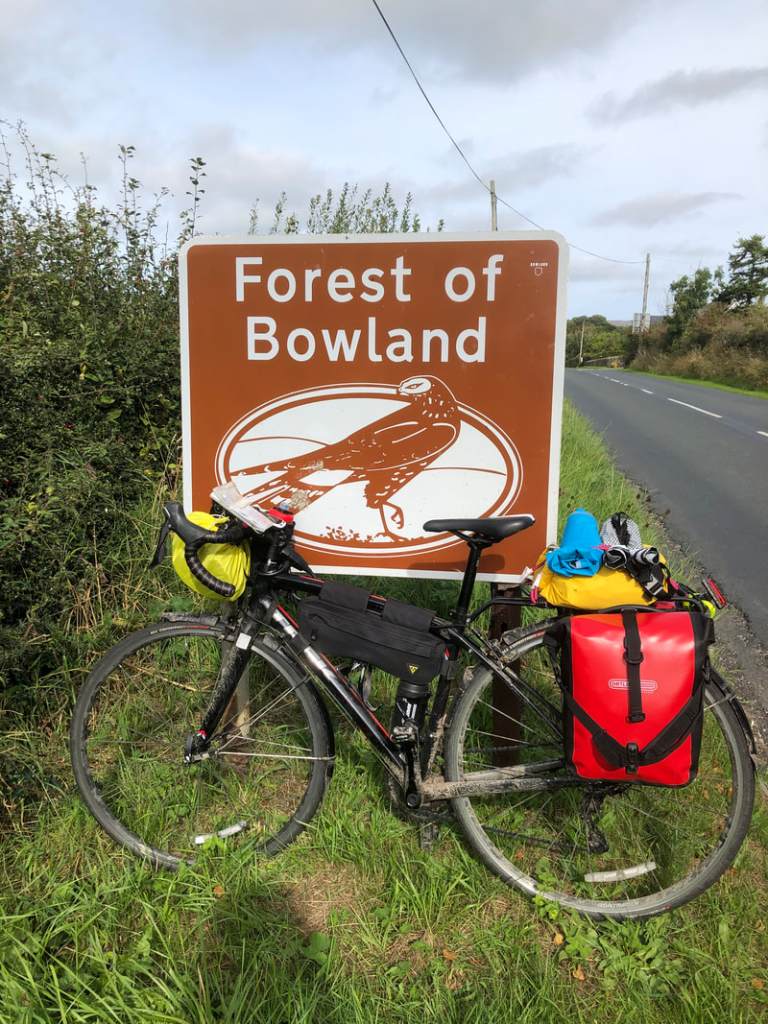
Wayside signs marked my progress up the map:
I loved the accuracy of the half miles in this one:
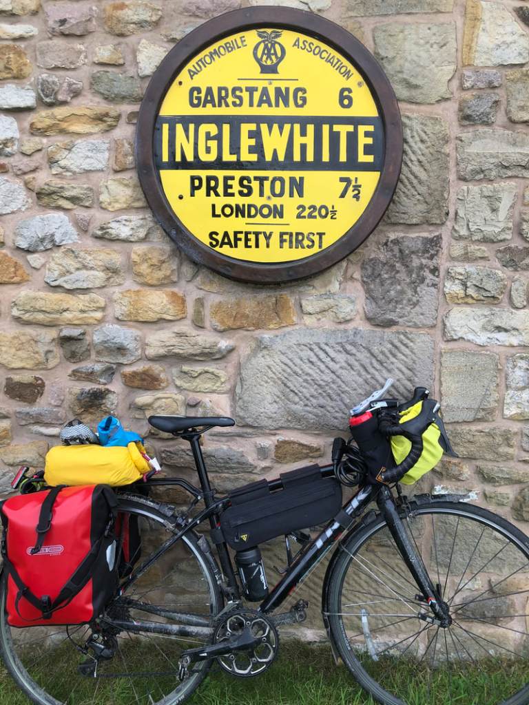
The hint at local history in this one…
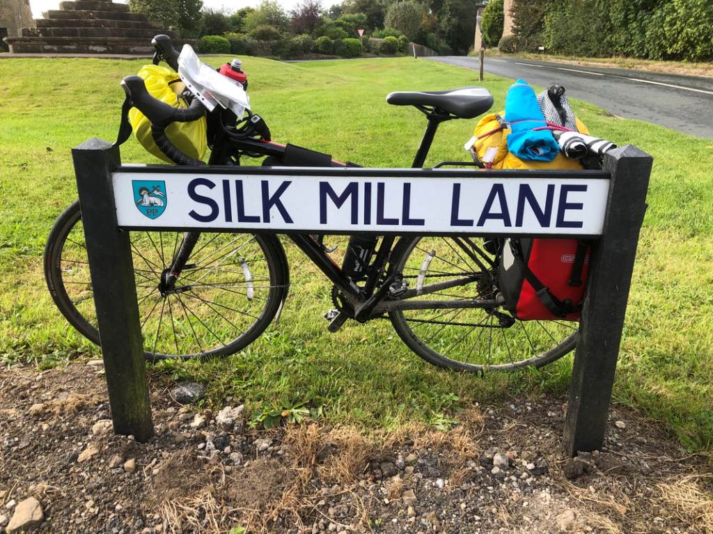
And the whiff of anti-capitalism in this one:

But as always the best sign was the one with my destination on it..

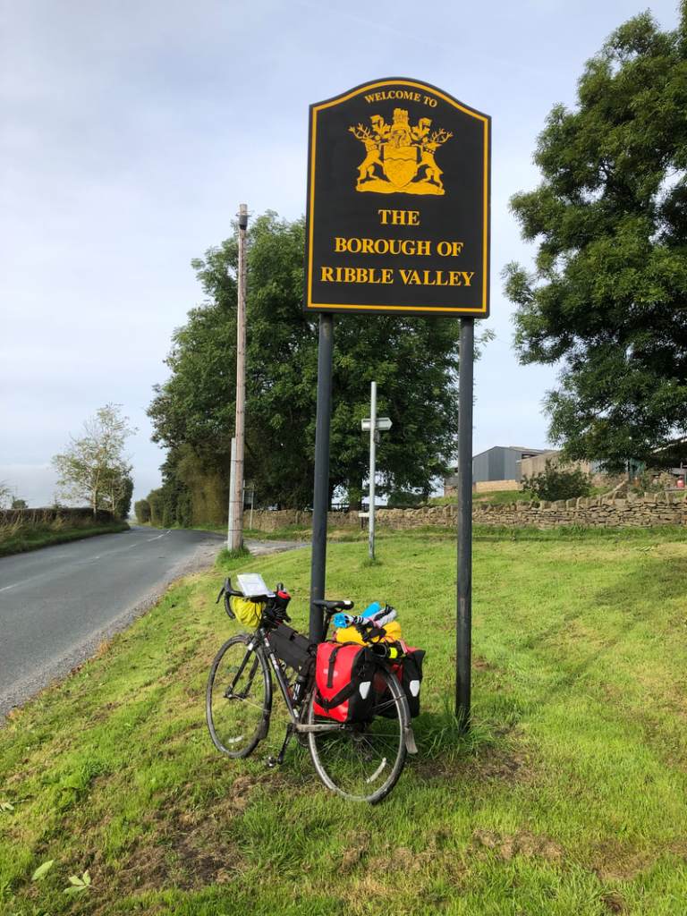
And just before the end I chalked up another county.

I’m looking forward to my day off tomorrow. My thanks to David and Sarah Lynn for putting me up.

Leave a comment